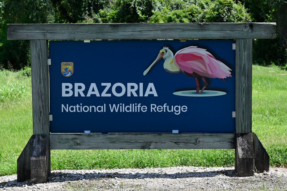
Brazoria National Wildlife Refuge

|
History
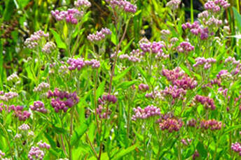
Brazoria National Wildlife Refuge, established in 1966, was the first of the Texas Mid-coast Refuges to be established in response to declining waterfowl populations along the Texas coast. In 1990, Texas Oil Company sold more than 25,000 acres of land between Bastrop Bayou and Chocolate Bay, to the U.S. Fish and Wildlife Service, tripling the size of the refuge. Today, the refuge includes nearly 46,000 acres of salt marsh, coastal prairie, freshwater wetlands and Columbia Bottomland forest. MAP PUBLIC USE
The refuge has multiple areas that have been opened for public use opportunities. The Big Slough Recreation Area offers many opportunities to view and photograph wildlife, walking trails and an auto tour loop with freshwater and saltmarsh habitats that attract a variety of wildlife. An Information Pavilion near the entrance of the refuge has interpretive panels and also information on the self-guided auto tour including a brochure or compact disc. Brazoria NWR is open every day sunrise to sunset. Use the address: 2020 CR 227 Freeport, TX to get directions to the public use area. The three mile road into the refuge provides opportunities for viewing raptors, shrikes, and scissor-tailed-flycatchers perched on the fence posts. Restrooms are available near the Information Pavilion.
Discovery Center is a visitors center, classroom, and office facility located at the Brazoria National Wildlife Refuge. |
|
|
TOURING THE REFUGE
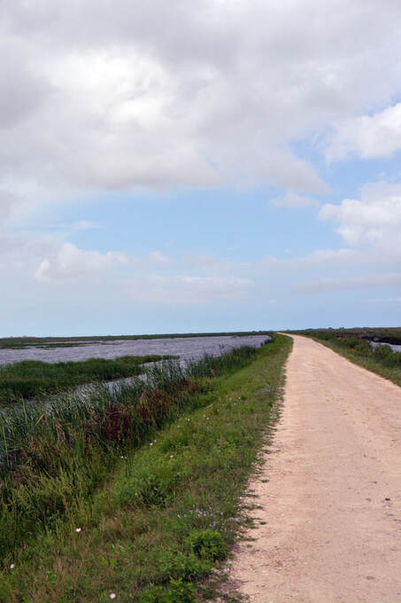
Auto Tours Big Slough Auto Tour runs 7.5 miles through the Big Slough Recreation Area, the heart of Brazoria NWR, wrapping around Olney, Crossroads and Teal ponds, and accessing Big Slough and Rogers Pond. The 3-mile entrance road from County Road 227 (which passes through private lands) also can provide wildlife viewing. County Road 227 cuts through some of the refuge's best bluestem prairie terrain. The gravel auto-tour is also open to biking. MAP
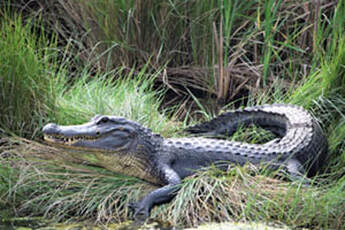
Hiking Trails Big Sough Boardwalk and Trail, that begins next to the Discovery Center, crosses the Big Slough, where alligators, turtles, waterfowl, other animals, and various plant life can be viewed up close. The main trail loops 0.6 miles (1.1 miles for the entire loop) through the low forest on a mowed trail. Interpretive signs provide a self-guided tour. TRAIL GUIDE Middle Bayou Trail, a two mile trail, follows along an abandoned railroad right-of-way parallel to County Road 227 on the east side of Bastrop Bayou. The trailhead is at the Bastrop Bayou fishing pier. Cox Lake Trail passes through a salt-grass prairie among stands of salt cedars, ending at the western shore of Cox Lake. The trail passes the Maddox Cedars monument, a rest stop with interpretive sign. The trailhead can be reached by vehicle at the eastern edge of the Big Slough auto tour. Maddox Cedars Information. Wandering off-trail here is not advised because alligators and venomous snakes reside in the taller grasses. Boating Information Link |
|
WILDLIFE OBSERVATION AND PHOTOGRAPHY
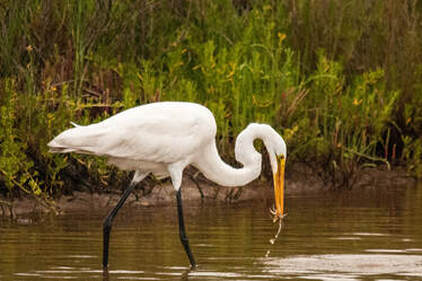
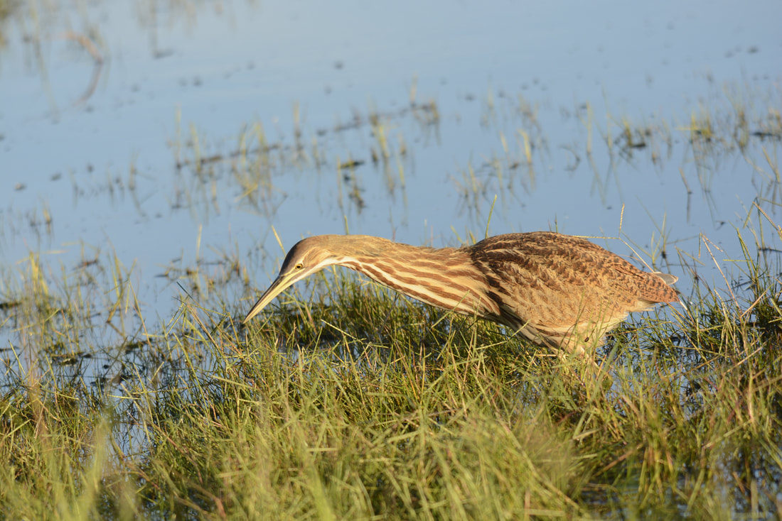
Auto Tour Loop, The auto tour offers excellent wildlife viewing and photo opportunities. Olney Pond and Cross Trails Pond, depending on the season, feature shore birds such as dowitchers, yellowlegs, black neck-stilts, and many others. Ducks and wading birds that you might see include blue wing teal, northern shoveler, coots, pied-billed grebe, ibis, great and snowy egrets, great blue and tricolored herons, roseate spoonbills and many many others. Have your camera and binoculars handy.
|
|
MAPS & OTHER RESOURCES
History (Texas State Historical Association)
History (Wikipedia)