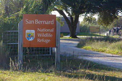
San Bernard National Wildlife Refuge
|
PUBLIC USE
San Bernard National Wildlife Refuge, established in 1969, provides quality habitat for wintering migratory waterfowl and other bird life. The 64,500-acre refuge is located in Brazoria and Matagorda counties, 12 miles west of Freeport, Texas. The refuge includes coastal prairie, salt marsh with saltwater lakes, shallow freshwater lakes and marshes, intermittent streams and bottomland forest. The refuge is a stop on the Great Texas Coastal Birding Trail. MAP
|
|
|
TOURING THE REFUGE
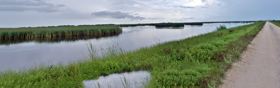
Cocklebur Slough Auto Tour is open every day from dawn until dusk. This 8-mile tour includes the 3-mile Moccasin Pond Loop. The auto tour entrance is located one mile southwest of the headquarters office on 6301 County Road CR 306, Brazoria, TX. The auto tour offers visitors an excellent opportunity for observing wildlife in a variety of habitats. Watch for songbirds, night-herons and bobcats along the slough. MAP
Pond Loop provides viewing opportunities for many waterfowl, water and wading birds, as well as Crested Caracaras, Northern Harriers and alligators. |
|
HIKES AND WALKS
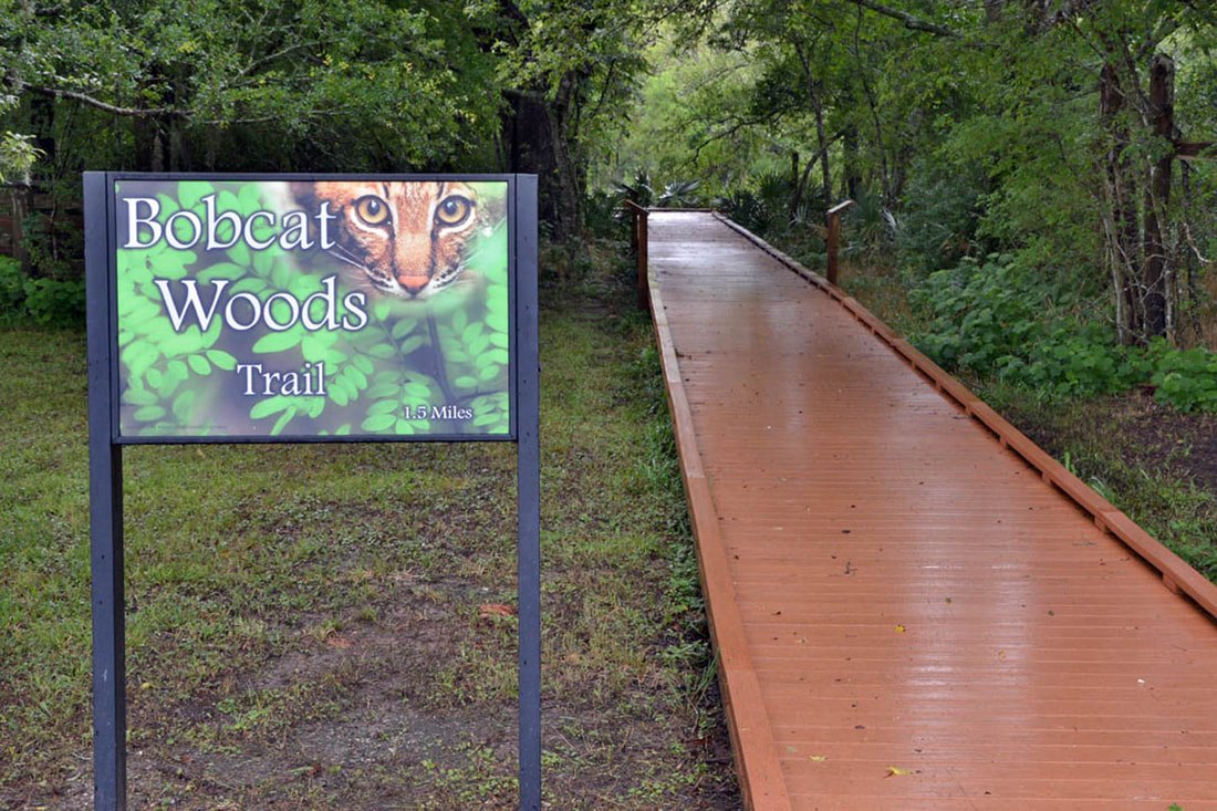
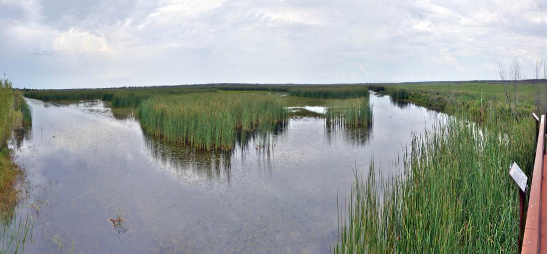
Bobcat Woods Trail (.7 miles) meanders through the woods along Cocklebur Slough and provides access to the Wolfweed Wetlands Complex. The boardwalk and trail are popular year-round to visitors looking for migrating songbirds or secretive woodland wildlife. Bobcat Woods Trail is ADA compliant. Map and Photos
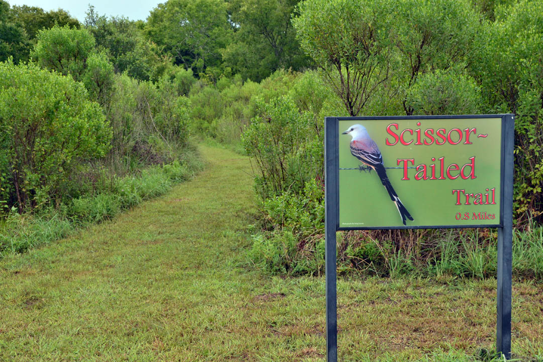
Cowtrap Marsh Trail (3.0 miles roundtrip) is an elevated levee extending into the marsh from Moccasin Pond. Witness first-hand the transition from fresh to saline wetlands and enjoy the wildlife that thrive in these dynamic habitats. Scissor-tailed Trail (0.8 miles) encircles a small patch of forest where Cocklebur Slough drains into the marsh. It's a great place for catching those migrating songbirds as well as butterflies and wildflowers. San Bernard Oak Trail (1.5 mile roundtrip) is home to one of the largest Live Oaks in Texas. This trail and boardwalk take you on a journey through the forested wetlands typical of the Columbia Bottomlands. Fisherman's Trail (0.2 miles) follows Cedar Lake Creek, providing bank access and wildlife viewing opportunities in this riparian habitat. |
|
|
OTHER FACILITIES
The Field Office is open during business hours, Monday through Friday. You can sign the visitors log, take a bathroom break, and visit with a staff member to answer any questions you may have. Stop by and say "Hi!"
Viewing Platforms for getting a better view in key viewing areas are located at Wolfweed Wetlands, Cedar Lake Creek and Moccasin Pond. Restrooms are available during office hours at the Field Office, or at Bobcat Woods anytime the refuge is open. The Boat Ramp is located at Cedar Lake Creek for use by refuge visitors. |
MAPS & OTHER RESOURCES